Search the blog
Tabla de contenidos
Sayacmarca on the Inca Trail is one of the most striking archaeological sites along the Classic route to Machu Picchu. Also written as Sayaqmarka, the complex sits in an elevated mountain setting and stands out for its stone passageways, stairways, enclosures and architecture that seems to adapt directly to the terrain.
For travelers hiking the Classic Inca Trail 4 Days, Sayacmarca appears after some of the most physically demanding sections of the trek. Before reaching it, hikers pass through Dead Woman’s Pass and Runkurakay, while the route later continues toward Phuyupatamarca and Wiñay Wayna.
At Dreamy Tours, we believe Sayacmarca makes more sense when viewed as part of the full Classic Inca Trail route. It is not simply an archaeological stop, but a place that helps travelers understand how roads, architecture and geography worked together within the Andean landscape.
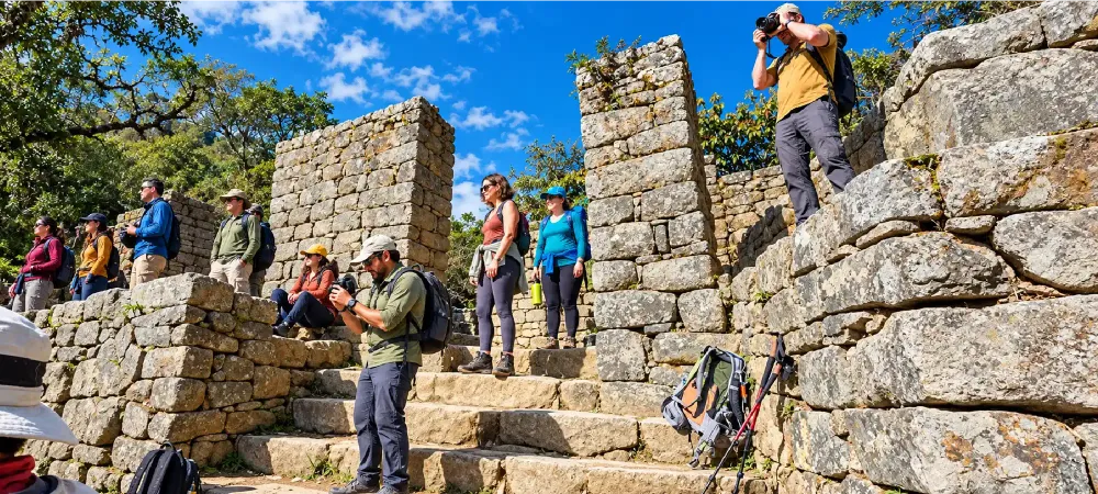
What is Sayacmarca?
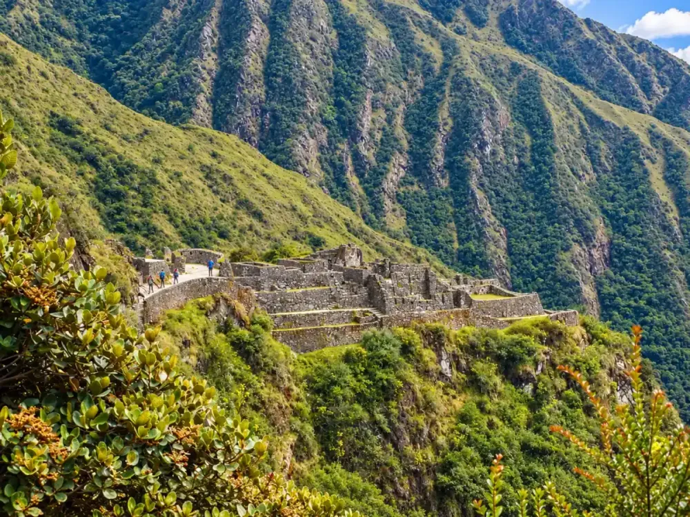
Sayacmarca is an archaeological site located along the Classic Inca Trail. Its structures occupy a narrow and elevated mountain area, giving it a more compact and vertical appearance than several other sites along the route.
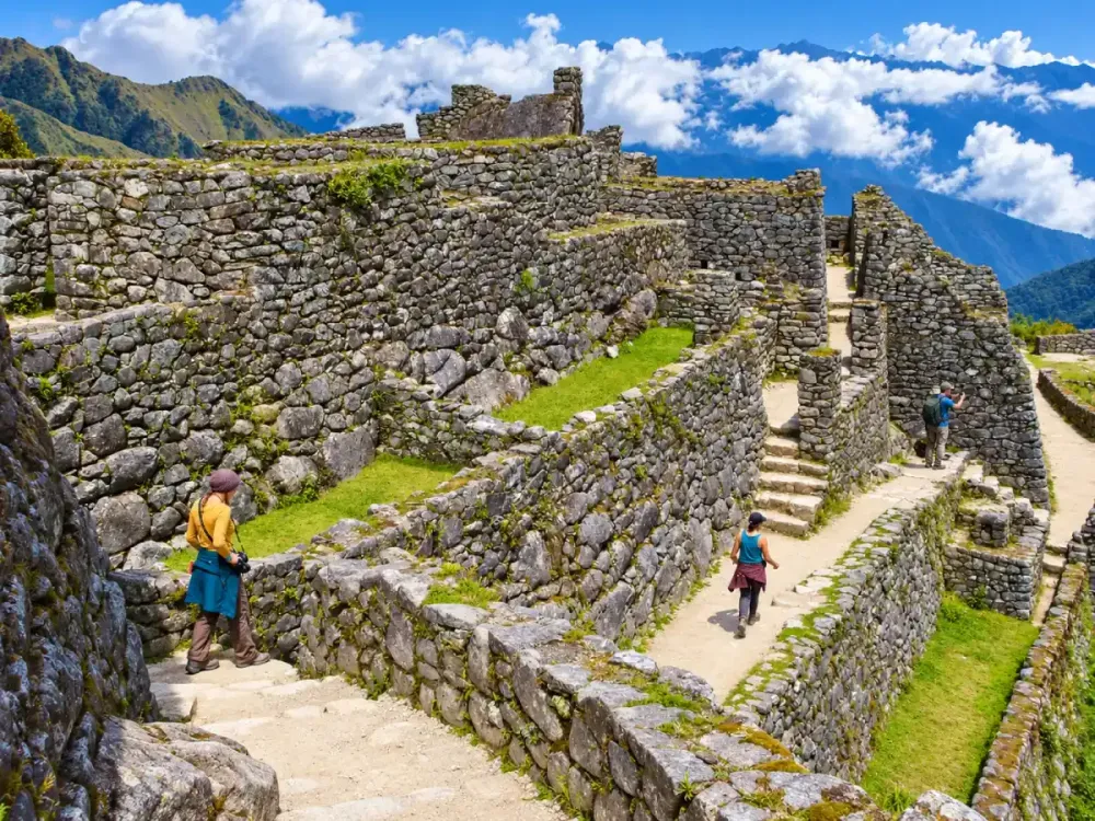
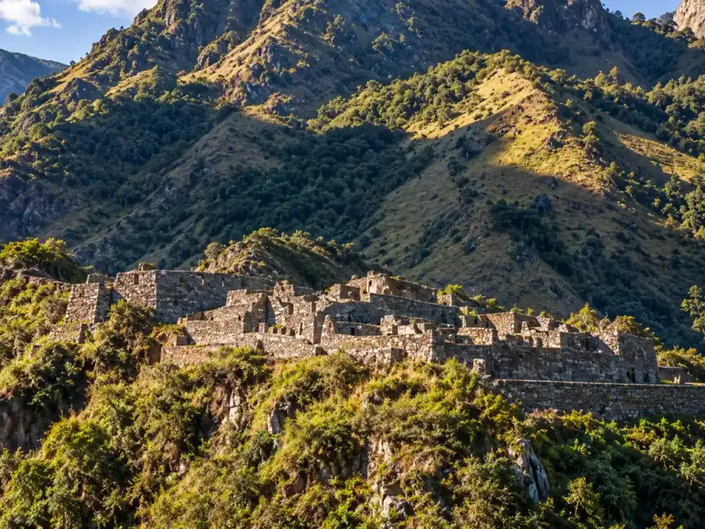
The complex includes stone walls, stairways, enclosures and passageways that adapt closely to the shape of the terrain. As you move through the area, it becomes clear that the builders worked with the mountain rather than trying to flatten or completely reshape it.
Sayacmarca should also not be understood as an isolated site. It forms part of a broader archaeological sequence connecting Runkurakay with other important places farther along the trail.
Where is Sayacmarca located?
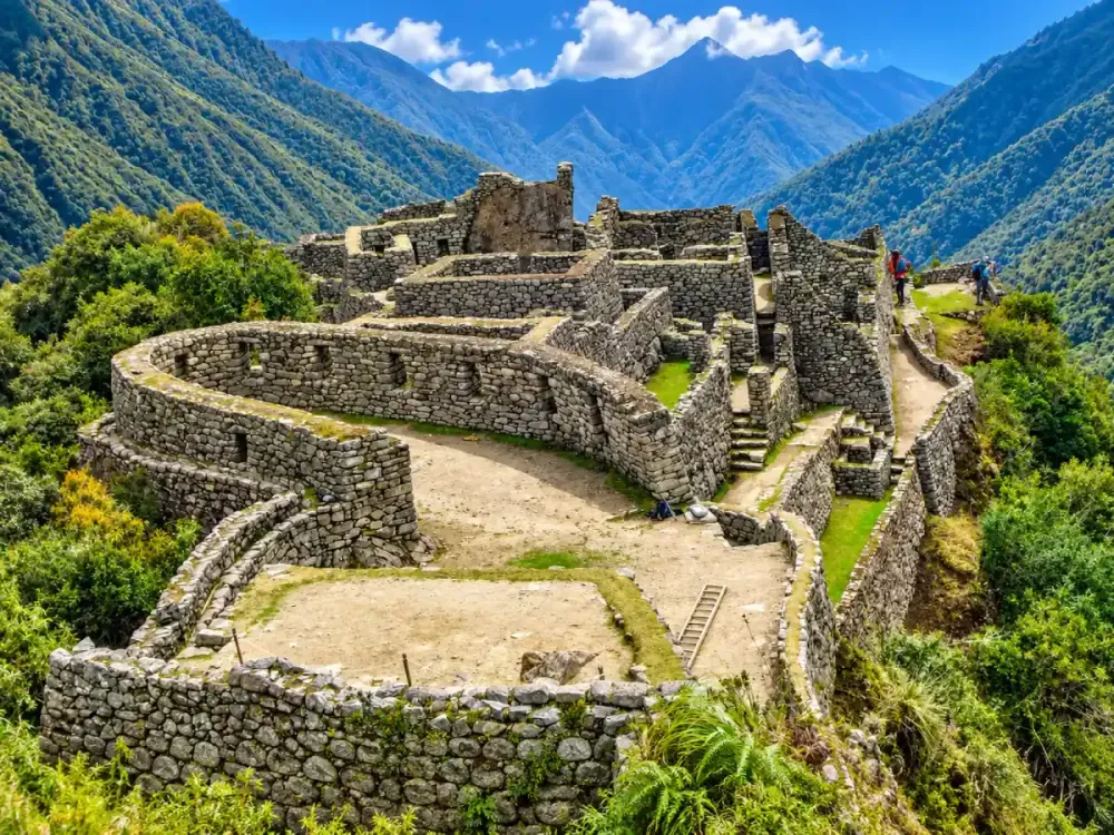
Sayacmarca is located in a high section of the Classic Inca Trail, after Runkurakay and before the route continues toward Phuyupatamarca. This part of the trek combines ancient stone paths, mountain passes, Andean vegetation and several archaeological sites.
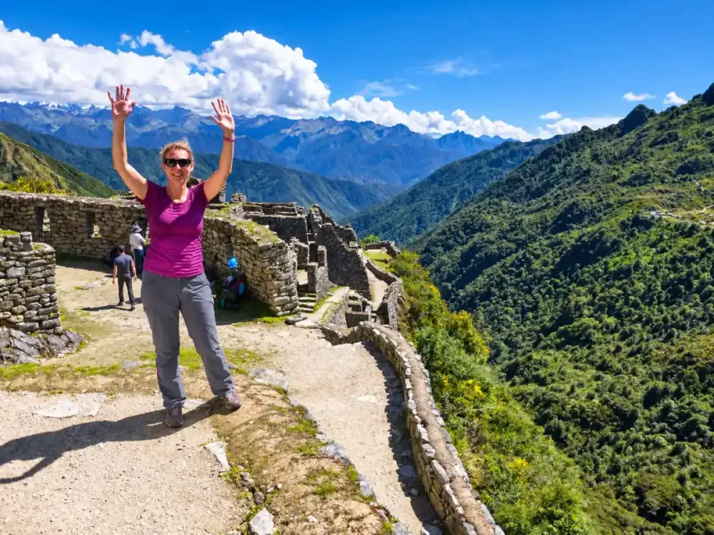
Its position on a steep mountainside makes the complex appear almost built into the mountain itself. From the trail, the transition between the path and the archaeological structures feels more natural than at sites reached directly by road.
To understand how hikers reach this area, it helps to first review Runkurakay on the Inca Trail, as both sites belong to the same major section of the trek.
Within the complete journey, Sayacmarca also marks a transition toward greener and more humid environments that gradually become more noticeable as the route approaches Wiñay Wayna.
How high is Sayacmarca?
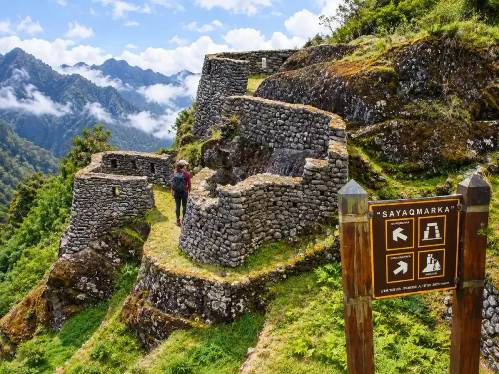
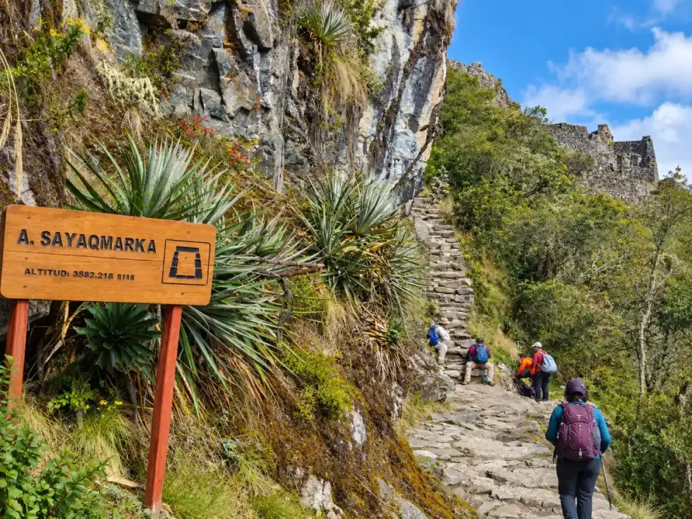
Sayacmarca is located above 3,500 meters above sea level, within a section where travelers are still exposed to considerable altitude.
Although the highest point of the trek at Dead Woman’s Pass, around 4,200 meters, has already been crossed, that does not mean the route immediately drops to low elevations. The trail continues through high sections and additional changes in elevation.
| Route point | Approximate elevation | Relationship to Sayacmarca |
|---|---|---|
| Dead Woman’s Pass | 4,200 m | Highest point of the trek |
| Pacaymayo | Around 3,600 m | Descent afterward |
| Runkurakay | Around 3,700+ m | Previous archaeological site |
| Runkurakay Pass | Around 3,950–3,970 m | Mountain pass before Sayacmarca |
| Sayacmarca | Above 3,500 m | High archaeological site |
The combination of altitude, stone stairways and accumulated fatigue explains why this stage can still feel demanding. You can follow the complete elevation profile in Inca Trail altitude.
On which day do you visit Sayacmarca?
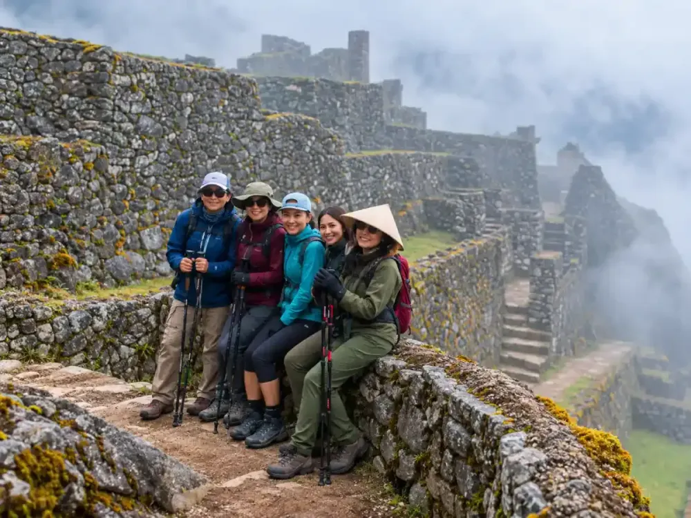
Sayacmarca forms part of the stage after Dead Woman’s Pass and Runkurakay. On the Classic Inca Trail 4 Days, it appears within the section that continues through Runkurakay, Sayacmarca, Phuyupatamarca and eventually Wiñay Wayna.
This part of the trek feels different from the long climb to Dead Woman’s Pass. The highest elevation has already been crossed, but the route still includes climbs, descents, mountain passes and numerous stone stairways.
By this point, fatigue is also no longer linked only to the effort of the current day. Your legs have already accumulated several stages of hiking, and long downhill sections can become especially tiring.
That is why this day still requires endurance and careful pacing. Our guide to Inca Trail difficulty explains how the physical demands change from one day to the next.
What does Sayacmarca mean?
The name appears as Sayacmarca and also as Sayaqmarka. Different interpretations exist regarding its meaning, and it is often associated with the idea of an elevated or dominant place, which fits well with the location of the complex.
However, it is better not to present a single translation as completely definitive. Andean place names can have different linguistic and spelling interpretations depending on the source used.
Beyond the name itself, the elevated position of the complex is unmistakable. From the site, travelers have a strong sense of the surrounding mountain landscape.
For visitors, it is therefore more useful to connect the name with the character of the site: a high mountain settlement closely linked to the ancient road.
What was Sayacmarca used for?
There is no single interpretation that has been definitively proven regarding the original function of Sayacmarca. Based on its position, architecture and direct connection with the road system, possible roles related to control, administration, rest or movement have been suggested.
Some spaces may also have had ceremonial importance. However, presenting one interpretation as the only answer would oversimplify the archaeological complexity of the site.
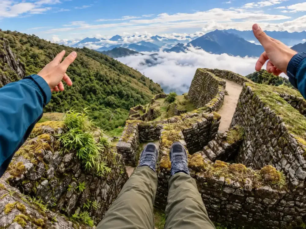
Its elevated position would also have provided wide views of the surrounding terrain and parts of the route. This helps explain why interpretations related to observation or control are often considered plausible.
What is clear is that Sayacmarca formed part of a much larger network. The Classic Inca Trail route makes it possible to see how different structures were connected by the same system of roads.
What is the architecture of Sayacmarca like?
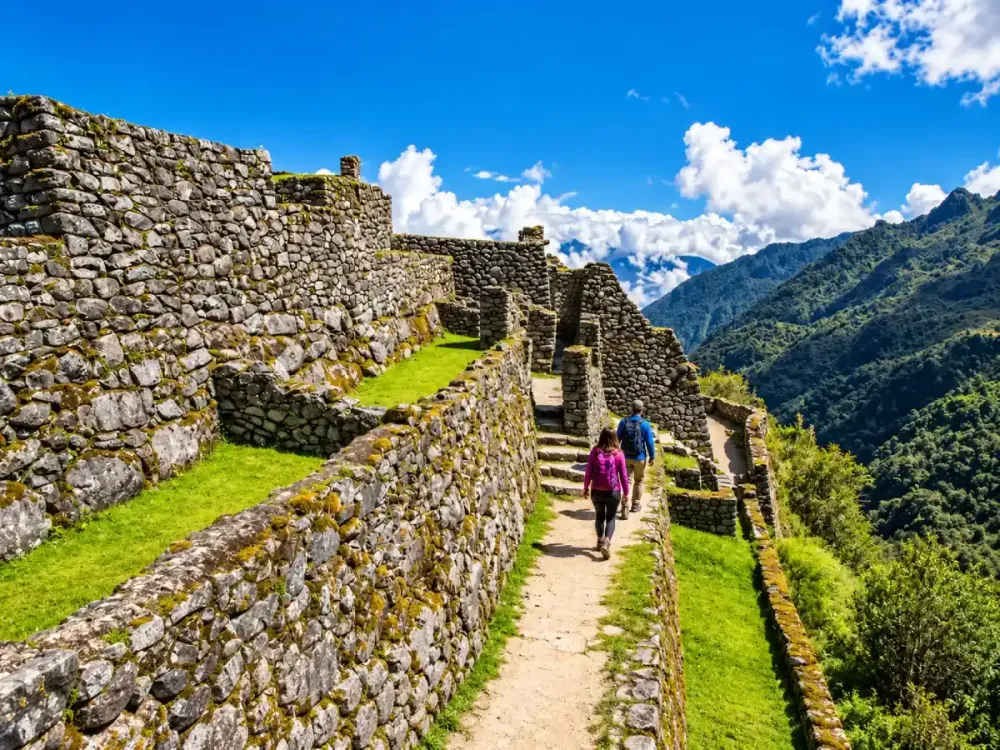
Sayacmarca is notable for the way its architecture adapts to narrow and steep terrain. Instead of forming a broad horizontal complex, the structures are distributed across different levels of the mountainside.
Visible elements include stone walls, rooms, stairways, narrow passages and elevated sections. Channels and other features are also integrated into the terrain.
Moving through the site feels quite different from visiting a more open archaeological complex. Spaces follow one another in a compact sequence, and the mountain strongly shapes the way visitors move through the area.
This adaptation to terrain appears repeatedly throughout the Inca Trail. At Runkurakay, it can be seen in the semicircular layout, while at Wiñay Wayna it becomes visible through large terraces built across a steep slope.
Why was Sayacmarca built in such a high location?
Its elevated location probably responded to a combination of practical, geographic and possibly symbolic factors. From high points, it would have been possible to maintain broad visual contact with the surrounding landscape and sections of the route.
This position may also have had administrative, strategic or ceremonial importance. However, there is no single explanation that can be presented as definitively proven.
What is clear is that the choice of location was deliberate. Building on such a slope required walls, access points and stairways to adapt carefully to the mountain.
For modern hikers, this same location is part of what makes Sayacmarca memorable. Reaching the site after hours of trekking and finding a complex built in such a dramatic position gives the relationship between engineering and landscape a different weight.
How do you get to Sayacmarca?
Sayacmarca is visited as part of the Classic Inca Trail route. It is not normally reached by car and is not an independent excursion that can simply be added from Cusco.
Before arriving, hikers cross mountain terrain and pass through Runkurakay. The route then continues along ancient stone paths toward the site.
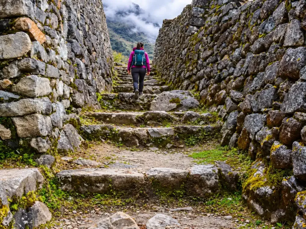
The approach includes stairways and elevation changes, so reaching Sayacmarca is part of the overall physical effort of the trek. At this stage, every kilometer also comes with fatigue accumulated from the previous days.
If your goal is to visit Sayacmarca, the route that passes through this sector is the Classic Inca Trail 4 Days. The Short Inca Trail from Km 104 follows a different route and does not pass through this complex.
Is Sayacmarca difficult to visit?
Sayacmarca itself is not especially large, so the main difficulty is not walking through the site. The challenge comes from the trekking required to reach it.
By this point, hikers have already crossed major elevation changes, stone stairways, climbs and descents. The route also continues at considerable altitude.
Accumulated fatigue plays an important role. Your legs may respond differently after several days of hiking, especially during stairways and extended downhill sections.
You do not need technical mountaineering skills to visit Sayacmarca, but you do need a reasonable fitness base. If you are preparing for the trek, read Inca Trail difficulty and how to train for the Inca Trail.
What can you see from Sayacmarca?
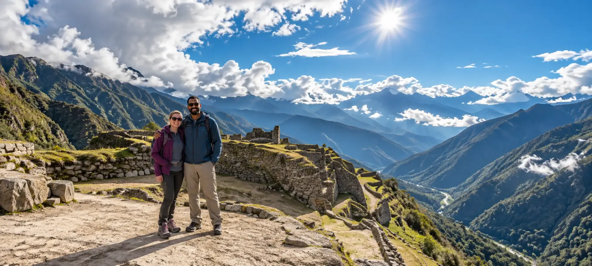
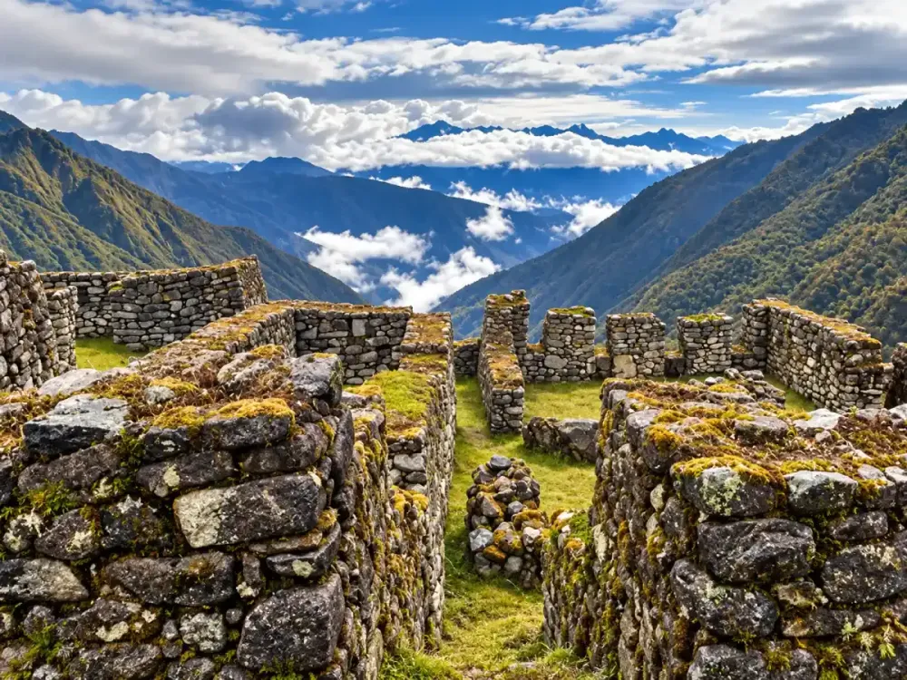
The landscape is one of the main highlights of the visit. From different sections of the complex, travelers can see mountains, valleys and parts of the ancient route crossing the surrounding terrain.
The sense of elevation is especially noticeable because the architecture occupies a high position within a landscape shaped by steep slopes.
Weather can completely change how the site feels. Clouds and mist may surround the mountains and reduce visibility, while clear conditions reveal a much broader view of the landscape.
This relationship between architecture and environment is one of the reasons Sayacmarca stands out on the trek. The site cannot really be separated visually from the mountain that surrounds it.
Sayacmarca and Runkurakay: what is the difference?
Runkurakay and Sayacmarca are two different archaeological sites located within the same major section of the Classic Inca Trail.
Runkurakay is especially recognizable for its semicircular design and its position beside the ancient road. Sayacmarca, by contrast, has a more compact, stepped and vertical layout built on an elevated slope.
Together, they show that the architecture along the route does not follow a single model. Each complex adapts differently to the terrain and may have served different functions within the road system.
Visiting both during the same stage makes this section one of the most interesting parts of the trek from an archaeological perspective. From Sayacmarca, the route continues toward Phuyupatamarca and then Wiñay Wayna before eventually reaching Inti Punku and Machu Picchu.
Sayacmarca is best understood as part of that complete sequence. If you are planning the trek, combine this guide with Runkurakay on the Inca Trail, Dead Woman’s Pass, Inca Trail altitude and the Classic Inca Trail route.
Personal travel advice
Plan your trip with Dreamy Tours
Start a tailored journey with our exclusive tours and custom trips across Peru and other Latin American countries.