Search the blog
Tabla de contenidos
The altitude of the Inca Trail changes significantly throughout the route. The Classic trail does not stay at high elevation for four straight days. It begins in the Urubamba Valley, climbs progressively above 4,000 meters and then descends toward increasingly humid environments before reaching Machu Picchu.
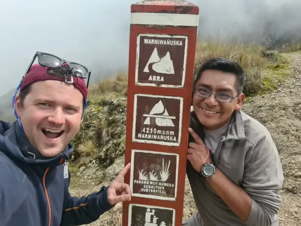
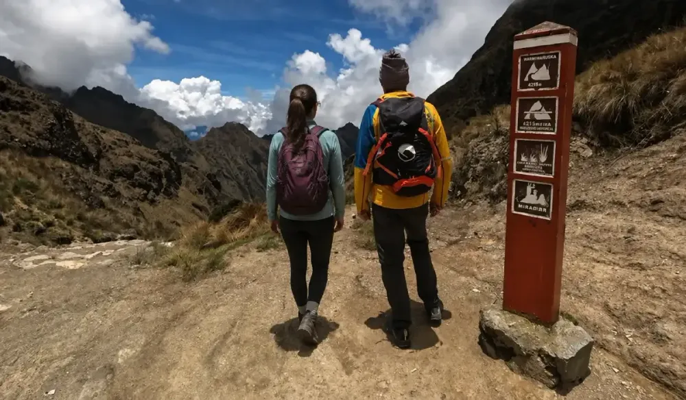
The highest point of the Classic Inca Trail 4 Days is Dead Woman’s Pass, also known as Warmiwañusqa, at approximately 4,200 meters above sea level. Reaching it on the second day requires several hours of climbing and represents one of the main physical challenges of the route.
However, understanding the full elevation profile is more useful than focusing only on that number. During the trek, you gain altitude, descend, climb again and cross several ecological zones. That combination of elevation, vertical gain and hiking time explains much better how the Inca Trail actually feels.
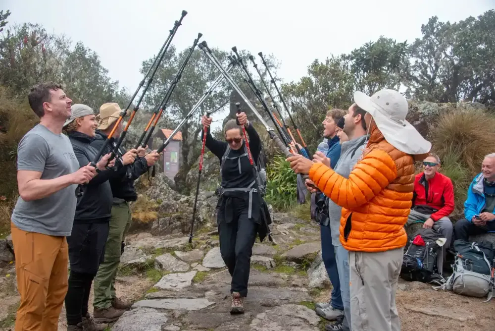
What is the highest altitude on the Inca Trail?
The highest point of the Classic route is Dead Woman’s Pass, at approximately 4,200 meters above sea level. It is reached on the second day of the Classic Inca Trail 4 Days and marks the top of the route’s main ascent.
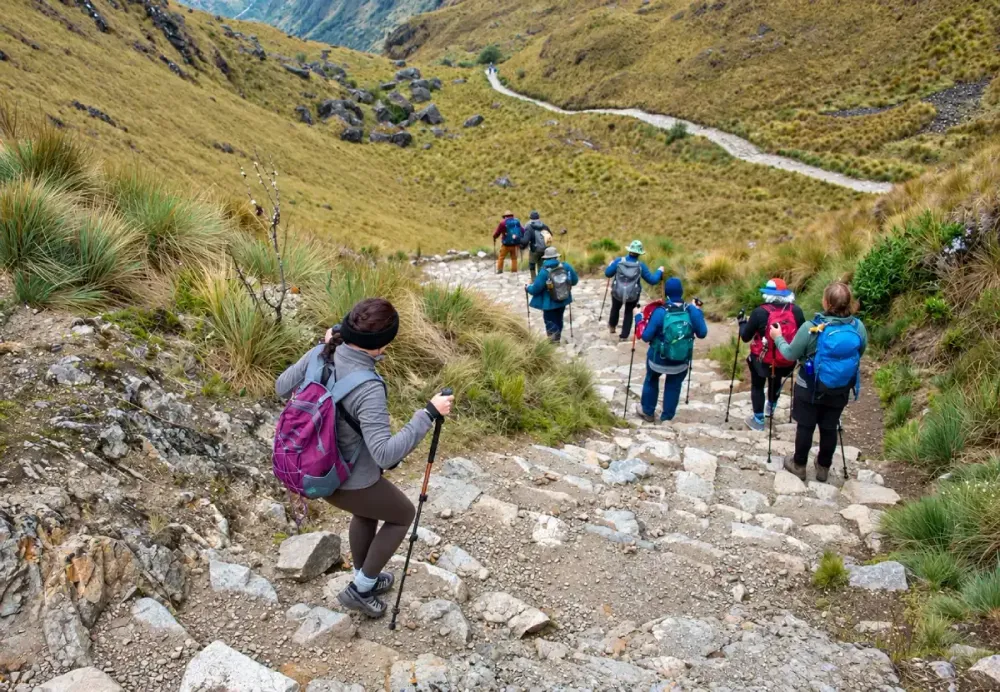
Getting there means climbing steadily from much lower elevations over several hours. As the trail rises, it is completely normal for your pace to slow and for rest stops to become more frequent. The ascent does not require climbing techniques, but the combination of gradient and altitude makes it demanding.
Once you reach the pass, the effort is not over. The trail begins a long descent toward Pacaymayo, so your legs quickly move from sustained uphill work to several hours of downhill walking.
For that reason, Dead Woman’s Pass is both the highest point and one of the key sections for understanding Inca Trail difficulty.
Main elevations along the Inca Trail
The Inca Trail crosses several altitude zones, and this variation is one of the route’s defining characteristics. You do not spend four days hiking above 4,000 meters. Instead, the trail climbs into the high Andes and later descends toward cloud forest.
Exact figures can vary slightly depending on where measurements are taken, but the following elevations are useful for understanding the overall profile of the Classic route:
| Point on the route | Approx. elevation | What it represents |
|---|---|---|
| Km 82, Piscacucho | 2,600–2,700 m | Traditional starting point |
| Wayllabamba | 3,000 m | First major climbing stage |
| Llulluchapampa | 3,600–3,800 m | Approach to Dead Woman’s Pass |
| Dead Woman’s Pass | 4,200 m | Highest point |
| Pacaymayo | 3,600 m | Descent after the first pass |
| Runkurakay Pass | 3,950–3,970 m | Second major pass |
| Phuyupatamarka | 3,600–3,700 m | High section of Day 3 |
| Wiñay Wayna | 2,650–2,700 m | Section near cloud forest |
| Inti Punku | Approx. 2,720 m | Sun Gate |
| Machu Picchu | Approx. 2,430 m | Final destination |
The key point is not to memorize each number. What matters is the shape of the route: a major climb first, then several descents and renewed climbs, followed by a progressive drop toward Machu Picchu.
Day 1: a gradual climb
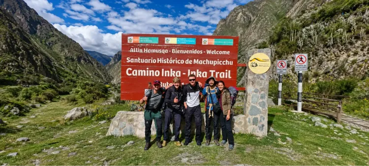
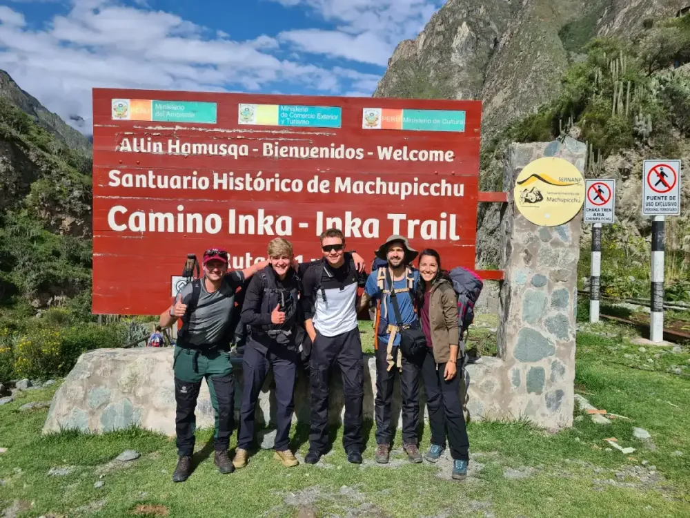
On the first day of the Classic Inca Trail 4 Days, the route begins in the Km 82 sector, at approximately 2,600 to 2,700 meters. From there, it follows the valley while gaining altitude gradually.
This first stage allows your body to get used to several hours of hiking and the initial elevation changes. You are not yet dealing with the extreme height of Dead Woman’s Pass, but that does not mean it is a good idea to walk too quickly.
The first day should be viewed as part of a four-day journey. Using too much energy early can be felt the next morning when the biggest ascent of the trek begins.
Altitude is only one factor. Terrain, sun exposure and the weight of your daypack also influence how the first stage feels.
Day 2: Dead Woman’s Pass and the highest point
The second day contains the largest elevation change of the Classic route and is usually the day travelers are most concerned about before starting.
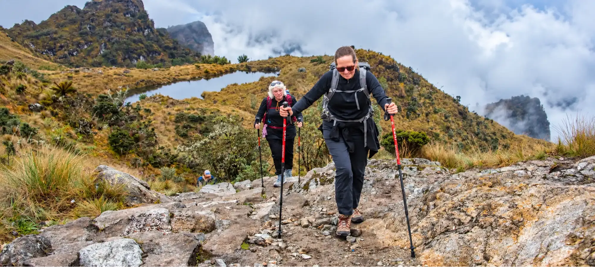
The trail climbs steadily toward Dead Woman’s Pass at around 4,200 meters. During the final sections, slowing down is completely normal. There is no reason to expect the same pace you would maintain on a lower-altitude trail.
After reaching the pass, the route begins a long descent toward Pacaymayo. That is why Day 2 cannot be evaluated only by looking at the climb. Your legs still need to deal with a substantial downhill section before the day ends.
At Dreamy Tours, we recommend keeping a steady pace from the beginning, taking reasonable breaks and avoiding the temptation to turn the ascent into a race. Energy management matters much more than reaching the top first.
Day 3: lower altitude, but the effort continues
Once Dead Woman’s Pass is behind you, the highest point has been completed, but the Inca Trail still includes significant elevation changes.
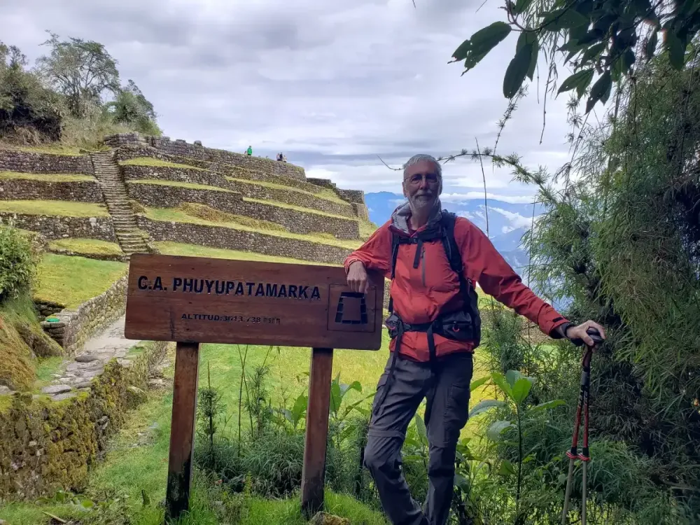
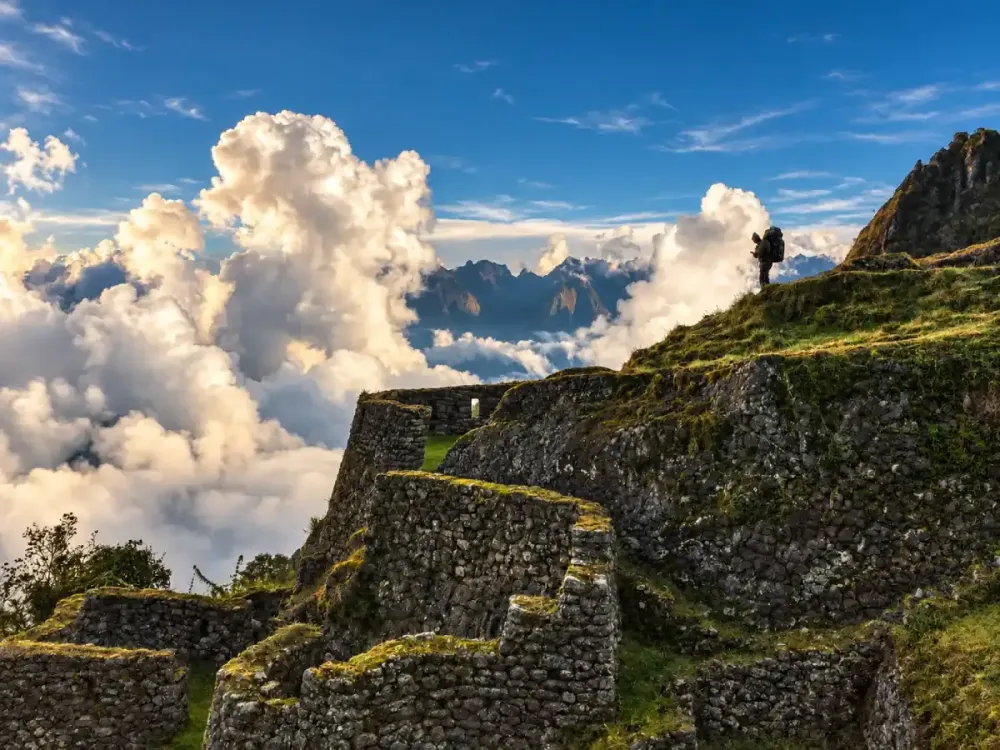
During the third day, the route climbs again toward Runkurakay Pass, at approximately 3,950 to 3,970 meters. From there, it continues past archaeological sites such as Runkurakay, Sayacmarca and Phuyupatamarka before beginning a long descent toward Wiñay Wayna.
This section shows why Inca Trail difficulty cannot be explained only by the highest altitude. Even though you do not return above 4,000 meters, you still combine climbs, descents, stone stairways and several hours of walking.
Your legs also carry the fatigue of the previous two days. For some travelers, the long descents on Day 3 are just as physically memorable as the climb to Dead Woman’s Pass.
Day 4: descending toward Machu Picchu
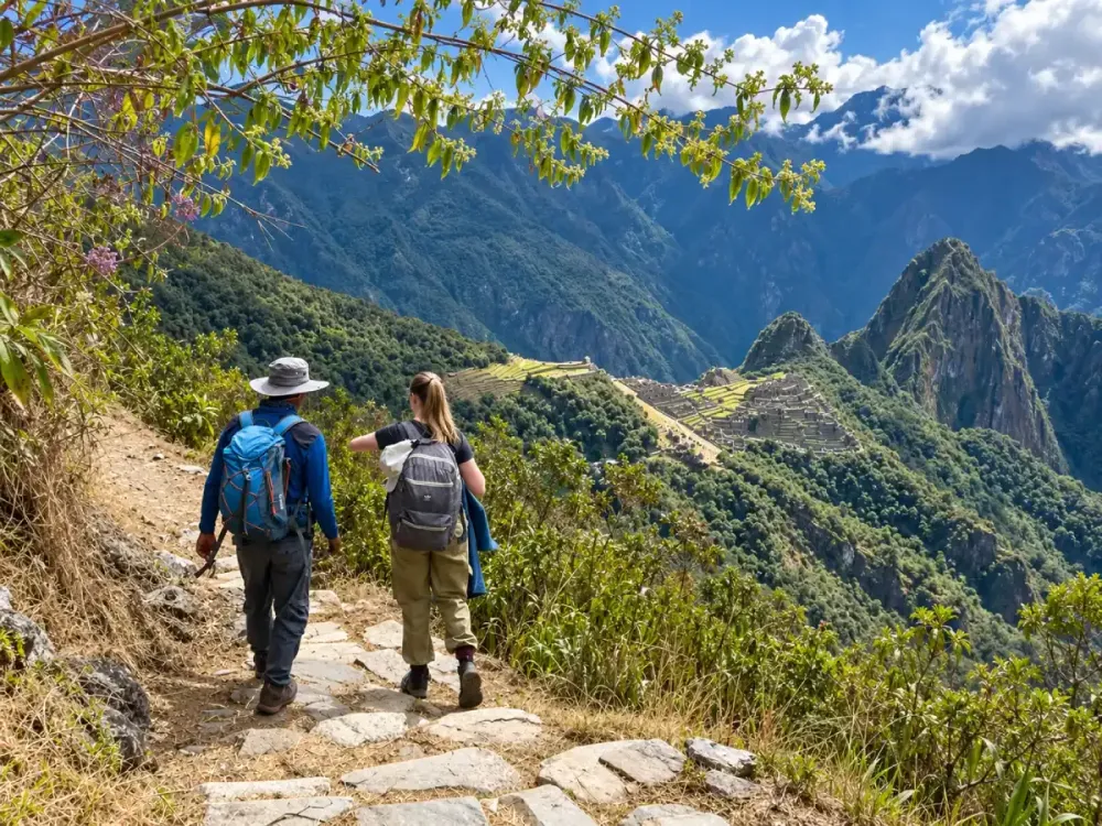
On the final day, altitude is no longer the main challenge. From Wiñay Wayna, the Inca Trail continues toward Inti Punku, the Sun Gate, before approaching Machu Picchu.
Inti Punku sits at approximately 2,720 meters, while Machu Picchu is around 2,430 meters. This means the final part of the route takes place well below the highest elevations crossed during the previous days.
As altitude drops, the environment changes as well. High-Andean landscapes and exposed mountain passes gradually give way to greener, more humid vegetation.
The overall four-day profile can be summarized like this:
| Day | Main elevation | How the profile changes |
|---|---|---|
| Day 1 | Up to approx. 3,000–3,600 m | Gradual ascent |
| Day 2 | Max. 4,200 m | Major climb followed by descent |
| Day 3 | Max. approx. 3,970 m | More climbs and long descents |
| Day 4 | Approx. 2,700 m → 2,430 m | Descent toward Machu Picchu |
This gradual descent also helps explain why the vegetation changes so much during the trek. In only a few days, you move from high mountain environments into cloud forest.
Does altitude affect every traveler the same way?
No. Two people with a similar fitness level can respond very differently to altitude. Even someone who runs, cycles or trains regularly may find that they need to slow down once they are above 3,500 or 4,000 meters.
That is because fitness and acclimatization are not the same thing. Training helps you cope with long hiking days, elevation gain and general fatigue. Acclimatization relates to how your body adjusts to spending time and exercising at higher elevations.
For that reason, you should not judge your likely response only by your sports background. Previous experience at altitude can help you understand how your body tends to react, but it still does not guarantee that every trip will feel identical.
For a more specific explanation, read altitude sickness on the Inca Trail.
How many days should you acclimatize before the Inca Trail?
There is no exact number that guarantees the same adaptation for everyone. However, travelers arriving from cities near sea level should avoid starting the Inca Trail immediately after landing in Cusco.
As a practical reference, 2 to 3 days of prior acclimatization can provide a more gradual transition before the trek. During that time, you can choose lighter activities, rest properly and avoid beginning the route already exhausted.
You can also divide your time between Cusco and the Sacred Valley. This allows you to explore other parts of the region before the trek while giving your body more time to adjust.
Acclimatization does not mean staying completely inactive in a hotel. The idea is to give your body time before asking it to handle several hours of hiking and a later ascent to 4,200 meters.
Preparation works best when combined with training. Our guide to how to physically prepare for the Inca Trail explains how to work on endurance, leg strength, stairs and elevation changes before traveling.
Does the Short Inca Trail reach the same altitude?
No. The Short Inca Trail 2 Days uses a different section of the route and does not cross Dead Woman’s Pass or the high mountain passes of the Classic trail.
The hike begins at Km 104, continues through Chachabamba and climbs toward Wiñay Wayna before reaching Inti Punku. Its highest point remains approximately in the 2,700 to 2,800 meter range, depending on the exact location measured.
That is a major difference. The Short Inca Trail removes exposure to elevations above 4,000 meters and concentrates most of the hiking into the first day.
This does not mean the route is flat. There is a significant climb from Chachabamba toward Wiñay Wayna and several hours of hiking, but altitude plays a much smaller role than on the Classic route.
If you are deciding between both options, read 2-Day vs 4-Day Inca Trail.
Altitude and difficulty: what should you really consider?
Dead Woman’s Pass and its approximately 4,200 meters naturally attract attention, but that number alone does not explain the full difficulty of the trek.
The real challenge comes from the combination of altitude, elevation gain, hiking duration, stone stairways, uneven terrain and accumulated fatigue. You can be at a lower elevation on Day 3 and still feel significant effort after two full days of hiking.
The same applies to descents. Losing altitude does not automatically make walking easy. Long stairways and steep downhill sections can place considerable strain on the knees and legs.
That is why this guide should be used to understand the vertical profile of the route. To evaluate the overall physical demand, combine it with our guide to Inca Trail difficulty.
Which section has the greatest elevation change?
The biggest elevation change is concentrated between the end of Day 1 and the climb on Day 2 toward Dead Woman’s Pass. Travelers gradually move from the valley into areas above 3,500 meters before finally reaching 4,200 meters.
What makes this challenging is not only the difference between the starting elevation and the highest point. The vertical gain accumulates over several hours, and the same day later includes a substantial descent toward Pacaymayo.
After that, the profile continues in a saw-tooth pattern. You climb again toward Runkurakay, cross additional elevated sections and later begin the long descent toward Phuyupatamarka and Wiñay Wayna.
This constant movement explains why looking only at “starting altitude vs ending altitude” can be misleading. On the Inca Trail, you may finish a day lower than the highest point reached earlier, even though your legs have completed a considerable amount of climbing and descending.
How to prepare for the altitude of the Inca Trail
The best strategy starts before you reach Km 82. Progressive physical preparation can help you handle long hiking days, while spending time in Cusco beforehand allows your body to adjust more gradually to altitude.
During the trek, maintaining a sustainable pace usually works better than trying to move too quickly. In high sections, accepting that your speed may decrease is part of the experience. Dead Woman’s Pass does not need to become a race.
It also helps to begin the trek well rested, stay properly hydrated and carry clothing that lets you adjust to changing temperatures. Altitude is not the only element that changes on the route. Weather and landscape shift as you climb and descend.
If you want the complete experience, the Classic Inca Trail 4 Days crosses the full elevation profile before reaching Machu Picchu. If you prefer to greatly reduce exposure to high altitude, the Short Inca Trail 2 Days begins at Km 104 and avoids Dead Woman’s Pass.
Knowing the elevation profile should not make the trail feel more intimidating. It should help you make better decisions. Understanding where the biggest climbs are, how much the altitude changes and which stages concentrate the most effort allows you to arrive with more realistic expectations and preparation that matches the route.
Personal travel advice
Plan your trip with Dreamy Tours
Start a tailored journey with our exclusive tours and custom trips across Peru and other Latin American countries.