Search the blog
Tabla de contenidos
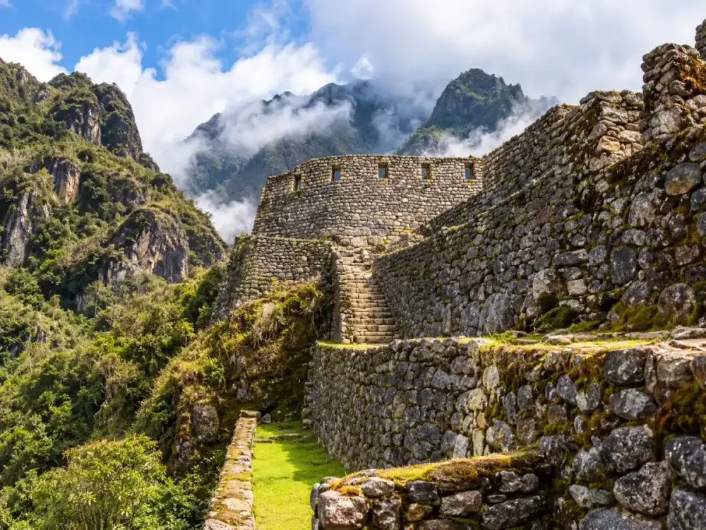
Runkurakay on the Inca Trail is one of the most distinctive archaeological sites along the Classic route to Machu Picchu. Its semicircular design, mountain setting and direct connection with the ancient trail make it stand out from other complexes encountered during the trek.
For travelers hiking the Classic Inca Trail 4 Days, Runkurakay appears after one of the biggest physical challenges of the route: Dead Woman’s Pass. From this section onward, the trail continues through mountain passes, stone stairways and archaeological sites that show how the Inca Trail was part of a much larger road network.
At Dreamy Tours, we believe Runkurakay is much more meaningful when understood within the complete journey. It is not an isolated stop. It forms part of a sequence that continues toward Sayacmarca, Phuyupatamarca, Wiñay Wayna and Inti Punku before finally reaching Machu Picchu. You can follow the full progression in our guide to the Classic Inca Trail route.
What is Runkurakay?
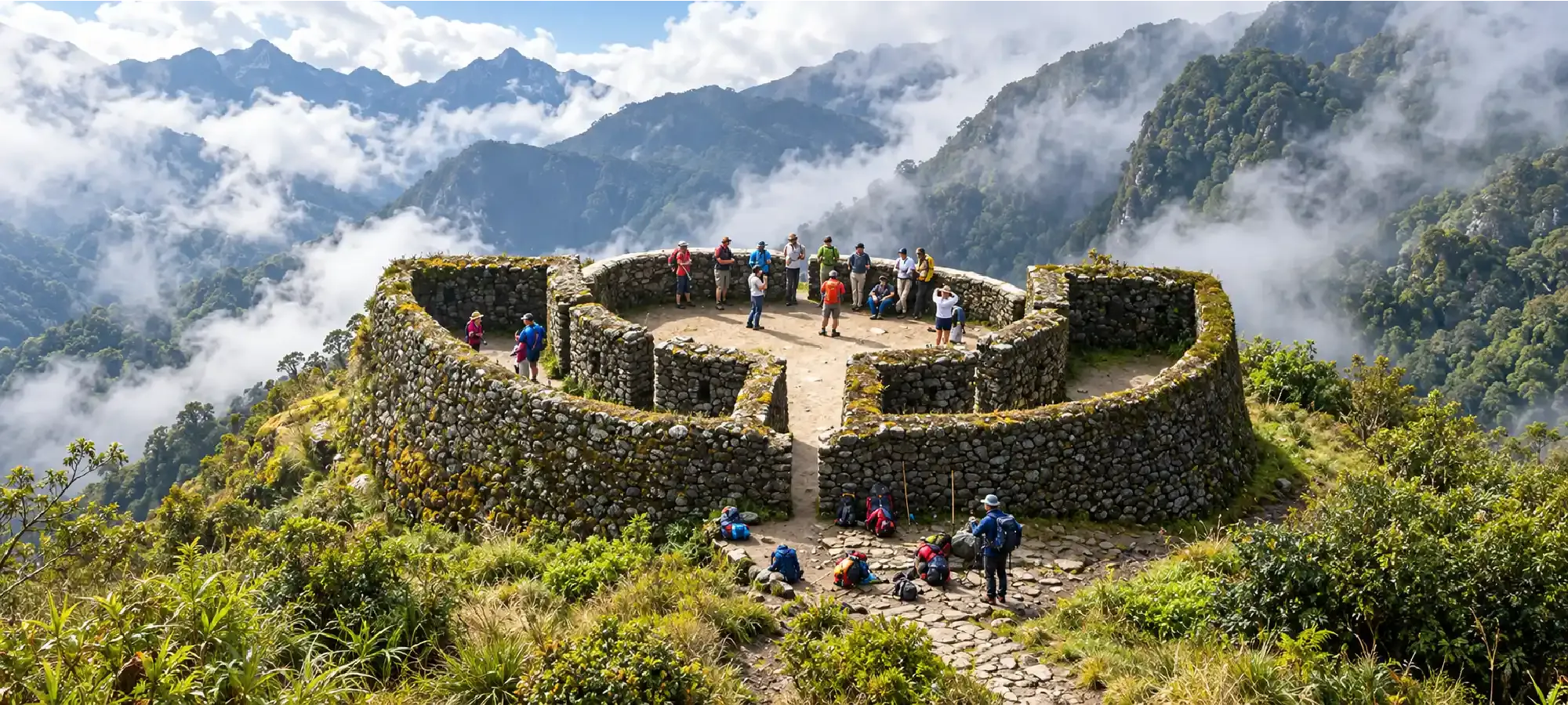
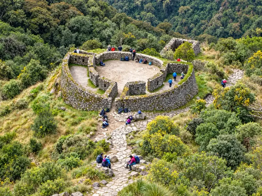
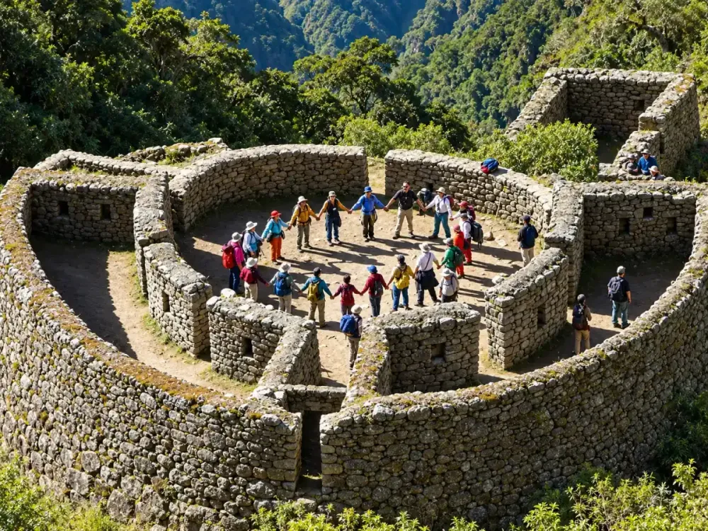
Runkurakay is a small archaeological site located directly along the Classic Inca Trail. One of its most recognizable features is its semicircular layout, which is different from the architectural patterns seen at several other sites along the route.
The complex is integrated into a high mountain setting where the ancient trail continues across slopes, stone paths and changing elevations. It is much smaller than Machu Picchu or Wiñay Wayna, but its scale and position beside the trail make it easier to understand how Inca structures were connected with routes of movement and communication.
Runkurakay also changes the way many travelers perceive the trek. After several hours of hiking, it becomes clear that the archaeological sites are not isolated attractions but parts of a continuous system connected by ancient roads.
| Feature | Runkurakay |
|---|---|
| Type of place | Archaeological site on the Inca Trail |
| Route | Classic Inca Trail |
| Distinctive feature | Semicircular design |
| Setting | High mountain environment |
| Position on the route | After Dead Woman’s Pass and before Sayacmarca |
| How it is visited | As part of the Classic trek |
Where is Runkurakay located?
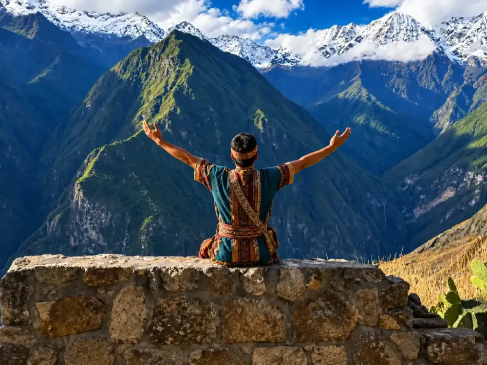
Runkurakay is located along the Classic Inca Trail route, in a high section of the trek after Dead Woman’s Pass. From this area, the trail continues toward another mountain pass before descending and progressing toward Sayacmarca.
Its position matters because it marks another change in the experience. The highest point of the trek is already behind you, but the terrain still involves climbs, descents and sections where altitude continues to affect the effort required.
The relationship between archaeology and landscape is especially clear here. The structures appear closely tied to the mountainside and the ancient trail rather than standing apart from the surrounding environment.
To see exactly where Runkurakay fits within the approximately 42-kilometer trek, read the Classic Inca Trail route.
How high is Runkurakay?
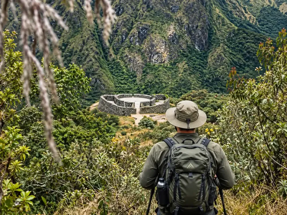
Runkurakay is located in a high section of the Inca Trail at around 3,700 meters above sea level. However, the archaeological site should not be confused with the Runkurakay Pass, which comes later and reaches approximately 3,950 to 3,970 meters.
This distinction is important when looking at the elevation profile. Even though hikers have already crossed Dead Woman’s Pass at around 4,200 meters, the route continues through high-altitude terrain and includes another significant climb.
| Route point | Approximate elevation | What it represents |
|---|---|---|
| Dead Woman’s Pass | 4,200 m | Highest point of the Inca Trail |
| Pacaymayo | Around 3,600 m | Descent after Dead Woman’s Pass |
| Runkurakay | Around 3,700+ m | Archaeological site |
| Runkurakay Pass | 3,950–3,970 m | Second major mountain pass |
| Sayacmarca | Elevated section afterward | Next major archaeological site |
Crossing Dead Woman’s Pass does not mean that the altitude challenge has ended. You can follow the complete elevation progression in Inca Trail altitude.
On which day do you visit Runkurakay?
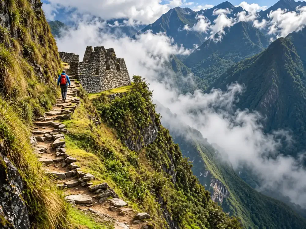
Runkurakay is visited during the stage that follows Dead Woman’s Pass. On the Classic Inca Trail 4 Days, it appears within the third day of the trek, as the route continues toward Sayacmarca, Phuyupatamarca and eventually Wiñay Wayna.
This day feels different from Day 2. The highest point has already been crossed, but the trail still combines climbs, descents, mountain passes and numerous stone stairways.
For that reason, the Runkurakay stage should not be considered a full recovery day. The type of effort changes, but the terrain and accumulated fatigue can still make it demanding.
In our guide to Inca Trail difficulty, we explain why Day 3 can still feel moderate to demanding even after Dead Woman’s Pass is behind you.
What does Runkurakay mean?
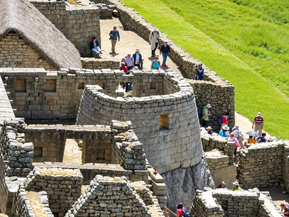
The exact meaning of the name Runkurakay can vary depending on the linguistic interpretation used, so it is better not to present a single translation as definitively established.
For travelers, it is more useful to focus on what makes the site visually distinctive. Runkurakay stands out because of its semicircular architecture and its direct connection with an ancient mountain route.
The name is also used as a geographical reference within the trek. Travelers may hear both Runkurakay, referring to the archaeological site, and Runkurakay Pass, referring to the higher mountain crossing that follows.
When reviewing maps or elevation profiles, it is therefore important to distinguish between Runkurakay archaeological site and Runkurakay Pass.
What was Runkurakay used for?
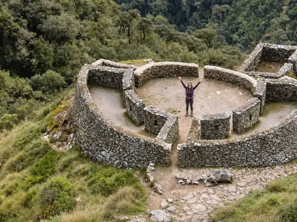
There is no single interpretation that has been definitively proven regarding Runkurakay’s original function. Among the most common explanations is the possibility that it served as a control point, resting place or support station connected to movement along the Inca road system.
Its location beside an important mountain route helps explain why these interpretations are plausible. The site is not separated from the trail but built directly into a corridor that connected different parts of the territory.
Other interpretations have also suggested possible roles related to surveillance or the organization of movement along the road. These ideas should still be treated as interpretations rather than absolute facts.
What is clear to visitors is that Runkurakay belonged to a larger system. The Classic Inca Trail route makes it possible to see how roads and structures were connected across the landscape.
What is the architecture of Runkurakay like?
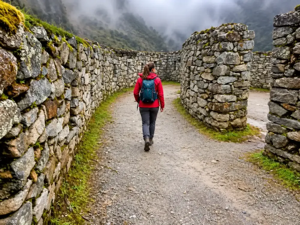
The most recognizable architectural feature of Runkurakay is its semicircular form. Its stone walls follow a layout that differs from several of the other archaeological sites encountered before and after it.
The construction also adapts closely to the natural terrain. Rather than appearing as a structure imposed on the mountain, its design fits the available space and maintains a strong relationship with the trail.
This principle appears repeatedly throughout the Inca Trail. Roads, retaining walls, stairways, terraces and buildings adapt to slopes and natural features rather than ignoring them.
Because Runkurakay is relatively compact, it offers a clear opportunity to observe that relationship between architecture and mountain landscape.
Why does Runkurakay have a circular shape?
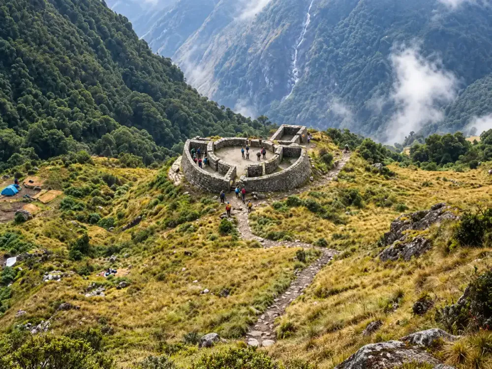
The semicircular design is one of the most striking aspects of Runkurakay because it is not repeated in exactly the same way at every archaeological site along the route.
Its form may have been related to the original function of the site and to the need to adapt construction to the terrain. However, there is not enough certainty to claim that the shape has one definitive explanation.
What travelers can observe directly is that Runkurakay has a clearly different architectural layout from other sites farther along the trail. This variety helps show that the complexes along the Inca Trail were not all designed for the same purpose or in the same form.
Later, for example, Sayacmarca occupies a more compact and elevated position, while Wiñay Wayna is especially known for its terraces and structures spread across the mountainside.
What is the trail to Runkurakay like?
The route to Runkurakay crosses a demanding mountain section of the Classic Inca Trail. Hikers have already crossed Dead Woman’s Pass, but that does not make the next section an easy walk.
After the major pass, the trail descends toward Pacaymayo and then begins climbing again toward Runkurakay and the second mountain pass. This sequence forces the legs to shift repeatedly between descending and climbing.
Stone stairways, uneven terrain and altitude are still part of the experience, while fatigue from the previous days starts to become more noticeable.
Maintaining a steady pace is therefore much more useful than trying to move quickly. If you are preparing for this section, read how to train for the Inca Trail.
Is Runkurakay difficult to visit?
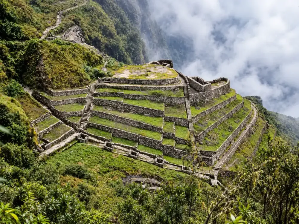
The archaeological site itself is not the main difficulty. The challenge comes from the trekking required to reach Runkurakay after already covering several kilometers and significant changes in elevation.
The stage combines stone stairways, slopes, additional climbs and descents, together with the fatigue accumulated over the previous days. For some travelers, Day 2 will clearly feel harder because of Dead Woman’s Pass, while others may notice the physical impact of Day 3 more strongly because of the constant terrain changes.
Altitude also remains relevant. Although Runkurakay is below Dead Woman’s Pass, the route continues for a while through areas close to 4,000 meters.
You do not need technical mountain skills to visit it, but you do need reasonable preparation for a multi-day trek. If this will be your first experience of this kind, also read Inca Trail for beginners and Inca Trail difficulty.
What can you see from Runkurakay?
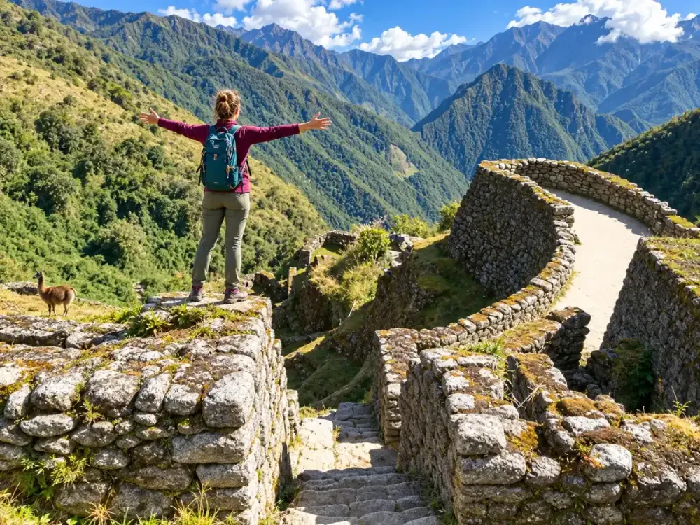
The surrounding landscape is one of the main reasons Runkurakay is so memorable. It is surrounded by mountains and high-altitude terrain that looks very different from the lower sections near the beginning of the Inca Trail.
From this area, it becomes easier to see how the ancient path adapts to Andean geography. Slopes, mountain passes and curves in the trail form part of a landscape where architecture and nature appear closely connected.
It is also a good place to notice how the environment begins to change. The open high-mountain scenery gradually starts transitioning toward greener and more humid landscapes farther along the route.
Runkurakay therefore acts as a natural bridge between the major challenge of Dead Woman’s Pass and the archaeological sequence that continues toward Sayacmarca, Phuyupatamarca and Wiñay Wayna.
What happens after Runkurakay?
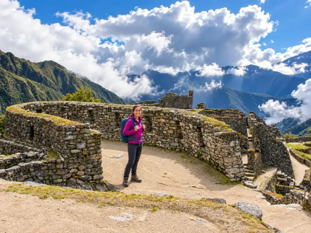
After visiting Runkurakay, the route continues toward Runkurakay Pass, located at approximately 3,950 to 3,970 meters, before crossing more mountain terrain and heading toward Sayacmarca.
From this point onward, archaeology becomes an increasingly important part of the day. After Sayacmarca, the route continues toward Phuyupatamarca and gradually begins transitioning toward greener, more humid environments.
Farther ahead, hikers reach Wiñay Wayna, one of the most impressive archaeological complexes on the route, before continuing toward Inti Punku and finally Machu Picchu.
This sequence explains why Runkurakay should not be viewed as a small isolated ruin. It is one part of a connected chain of archaeological sites along the Classic Inca Trail route. If you want to experience the full route, review the Classic Inca Trail 4 Days and check Inca Trail availability before choosing your dates.
Personal travel advice
Plan your trip with Dreamy Tours
Start a tailored journey with our exclusive tours and custom trips across Peru and other Latin American countries.