The Abra Málaga in Perú is a route that begins in the Village of Ollantaytambo, Cusco and ruins along the 28B Ollantaytambo – Quillabamba highway through unique Andean ecosystems. This route contains two types of well-defined areas: El Abra (4,297 masl) and the lower zone (Carrizales 3,245 masl). The birds you will see are rare and highly sought after.
The predominant ecosystem is the tropical montane rain forest or cloud forest in the Carrizales area, with low-rise tree forests covered by epiphytic plants and also some bamboo areas. In the Abra Málaga de Cusco, at an altitude of 4,200 meters, we find ourselves in a tropical pluvial-montane moorland, with small Polylepis forests at the source of the basins.
History of the Abra Málaga Pass

Inca Jungle 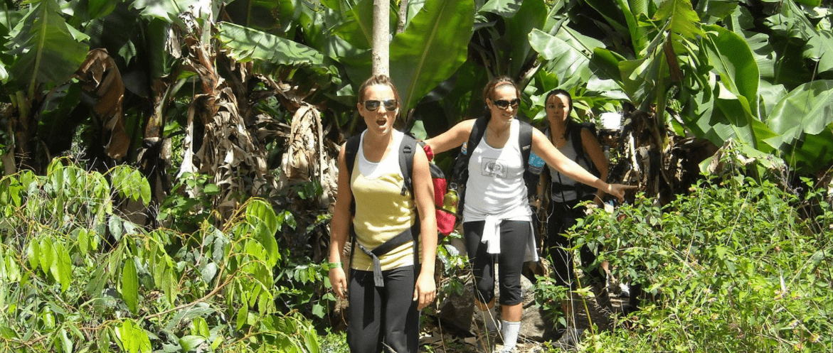
Inca Jungle Trek
The avifauna of this area of Peru was studied since 1869 by Sclater and Salvin, Berlepsch and Stolzmann (1906).
In 1915 an expedition of the Machu Picchu Geographical Society was carried out, led by Frank M. Chapman and George K. Cherrie (July 1-24, 1916), and by Harry L. Watkins (April 3-25, 1917).
From September 1974, June 1976, 1977 and 1978, October 1978 and August 1979, staff from the Louisiana State University (LSU) Museum of Zoology visited the valley to conduct an inventory and increase knowledge of the birds and small mammals. Three main camps were made along the Ollantaytambo-Quillabamba highway through Peru’s Abra de Málaga (3900 m), and a fourth was at Kiteni (450 m), after Quillabamba.
Birdwatching and biodiversity in Abra Málaga Pass
Starting from Ollantaytambo, the first place to visit is Las Peñas, located 15 km from the town. So called because there are remains of Inca stone constructions in the place. In the surroundings, among the bushes and by the side of the road you can see: Cuzco Finch, Chestnut-breasted Mountain Finch, Tyrian Metal-tailed Hummingbird, Bright Sunbeam Hummingbird, White-tufted Sunbeam Hummingbird , Puna Tapaculo, White-browed Conebill.
Abra Málaga Pass is the highest point on the route and is the safest and most accessible area. To do this, you must follow the path that begins at the checkpoint, located at the highest point of the Abra Málaga de Quillabamba. From there, follow the path until you reach a Polylepis forest located at 4,150 meters high. The route to this forest is very rugged and long. It takes between 2-3 hours to go through it.
How to get from Cusco to Abra Málaga in Perú?
From Cusco, go to Ollantaytambo and spend the night. Most of the lodgings are comfortable but small and do not have a garage.
To get to Abra Málaga in Perú you must take the road to Quillabamba in a private car or taxi. Public transport has fixed departure times in the morning. On the route there is no cell phone coverage.
Climate of the Abra Málaga in Perú
The climate is rainy between the months of November to April, and temperate with infrequent rains between the months of May to October. The temperature varies from -5 degrees in the Abra Málaga Pass to 20 degrees in the Carrizales area.