Abra Málaga is a route that begins in the town of Ollantaytambo, Cusco, passing through Inca ruins along Highway 28B (Ollantaytambo – Quillabamba), crossing unique Andean ecosystems. This route contains two well-defined zones: El Abra (4,297 m) and the lower zone (Carrizales at 3,245 m) . The birds you’ll see here are rare and highly sought after by birdwatchers.
The dominant ecosystem is tropical montane forest or cloud forest in the Carrizales area, with lowland forests covered in epiphytic plants and some bamboo patches. At Abra Málaga near Cusco, at an elevation of 4,200 meters, we enter a high-altitude shrubland with small Polylepis forests growing around the headwaters of local basins.
History of Abra Málaga Pass
The avifauna of this region of Peru has been studied since 1869 by Sclater and Salvin, Berlepsch, and Stolzmann (1906).
In 1915, an expedition led by Frank M. Chapman and George K. Cherrie (July 1–24, 1916), and later Harry L. Watkins (April 3–25, 1917), was conducted by the Machu Picchu Geographical Society.
Between September 1974, June 1976, 1977, October 1978, and August 1979, staff from the Museum of Zoology at Louisiana State University (LSU) visited the valley to conduct inventories and expand knowledge on birds and small mammals. Three main camps were set up along the Ollantaytambo–Quillabamba road across Abra Málaga (3,900 m), and a fourth was located in Kiteni (450 m), beyond Quillabamba.
Birdwatching and Biodiversity at Abra Málaga Pass
From Ollantaytambo, the first stop is Las Peñas , located about 15 km from the town. It’s named for the remains of Inca stone structures found there. Around the area, among bushes and along the roadside, you can spot:
- Cuzco Brushfinch
- Mountain Velvetbreast
- Tyrian Metaltail
- Shining Sunbeam
- White-tufted Sunbird
- Puna Tapaculo
- White-browed Hemispingus
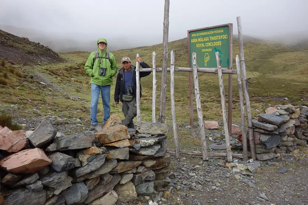
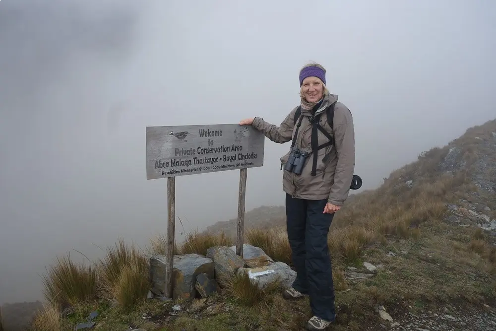
Abra Málaga Pass is the highest point on the route and offers the safest and most accessible birding area. To explore it, follow the trail starting at the checkpoint located at the top of the pass. From there, continue walking until you reach a Polylepis forest at approximately 4,150 meters above sea level.
The path to the forest is quite steep and long — it takes between 2 to 3 hours to complete — but the biodiversity and views make it worth the effort.
How to Get from Cusco to Abra Málaga, Peru
From Cusco, travel to Ollantaytambo and spend the night. Most accommodations are comfortable but small, and often don’t include parking.
To reach Abra Málaga, take the road toward Quillabamba by private car or taxi. Public transportation runs on fixed morning schedules. There is no cell phone signal along the route.
Climate at Abra Málaga, Peru
The climate is rainy from November to April , and mild with occasional rain from May to October . Temperatures range from -5°C (-23°F) at the high pass to 20°C (68°F) in the Carrizales area.
Regulations Along the Abra Málaga Route
There are no fees required to drive along the road itself. However, if you plan to access the Santa Teresa route , you must pay an entrance fee, which differs for locals and foreigners. Payment is made at the checkpoint, where bathrooms are also available.